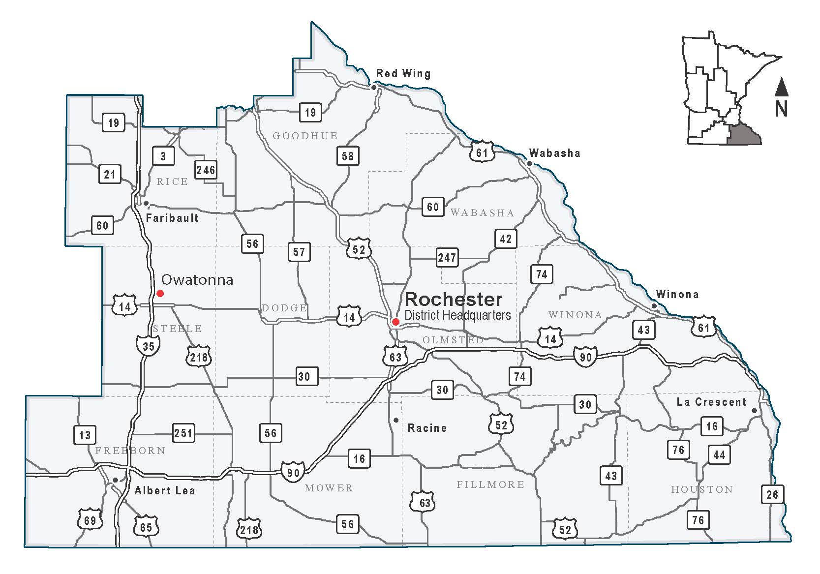
Traveling in the southeast
Traffic and road resources
Stay aware of traffic impacts during construction
Check 511
To see road closures related to construction, look at www.511mn.org or get a free app at the App Store or Google Play. You can also see traffic incidents, camera footage and more.
Sign up to receive updates
Visit the project websites for more information and to sign up to receive project updates about traffic impacts and construction schedules.
Winter driving alerts for southeast Minnesota
If you haven't yet, sign up to receive text message and/or email alerts during significant winter weather events that are affecting state roads in southeast Minnesota. Information will be shared about challenging driving conditions, crashes and closures on roads such as I-35, I-90, Hwy 14, Hwy 52 and Hwy 61.
It’s information that can help you decide to alter your route or adjust your travel plans to avoid the area and not get stuck. If you drive in southeast Minnesota – the 11 counties bordered by I-35 on the west, Hwy 19 on the north and Wisconsin and Iowa on the east and south – these alerts will be helpful.
Worker Memorial Day
MnDOT and its partners gather on April 28 for our annual remembrance of workers in District 6 and elsewhere who’ve been killed on the job. It’s a reminder for all of us of the responsibility we have for driving safely, especially during construction season.