We need your input on South Robert St.! Share your feedback on this comment map through Sun, June 9 or attend our public meeting on Tue, June 4. For more information about the event, visit the meetings webpage.
We are also conducting community engagement for an upcoming nearby project on Robert St. between 12th St. in downtown St. Paul and Annapolis St. in West St. Paul. For more information, visit the project webpage.
About this study
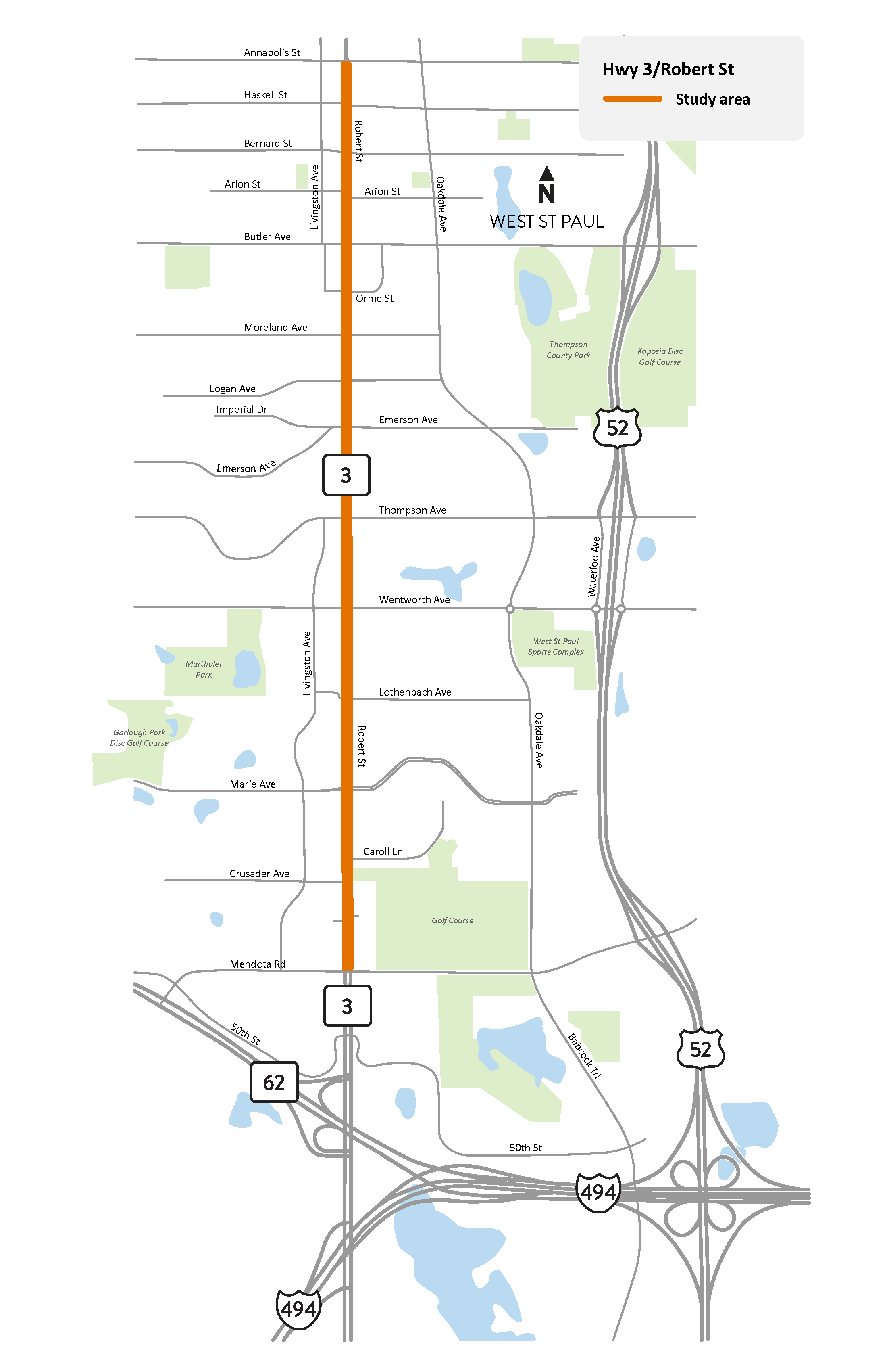
South Robert St. in West St. Paul study area map
We are studying Hwy 3/South Robert St. between Mendota Rd. and Annapolis St. in West St. Paul to identify possible improvements to safety and connectivity for people who walk, bike, ride transit and drive.
This section of South Robert St. was reconstructed in 2015-2016 to improve transportation mobility, access management and safety. Despite those improvements, the section of roadway has seen continued safety concerns for users since completion of the reconstruction project.
This study will coordinate with Metro Transit to prepare the corridor for the G Line arterial Bus Rapid Transit service, which will include new on-street transit stations in the study area.
We will gather input from communities close to the study area through engagement. Sign up for email updates to receive information on how you can share your input and stay up to date on this study.
Summary of work
- Assess and report on existing conditions
- Ask people to share their transportation experiences and needs
- Develop and recommend ideas for improvement
- Coordinate with the planning, design and construction of Metro Transit’s G Line arterial Bus Rapid Transit service